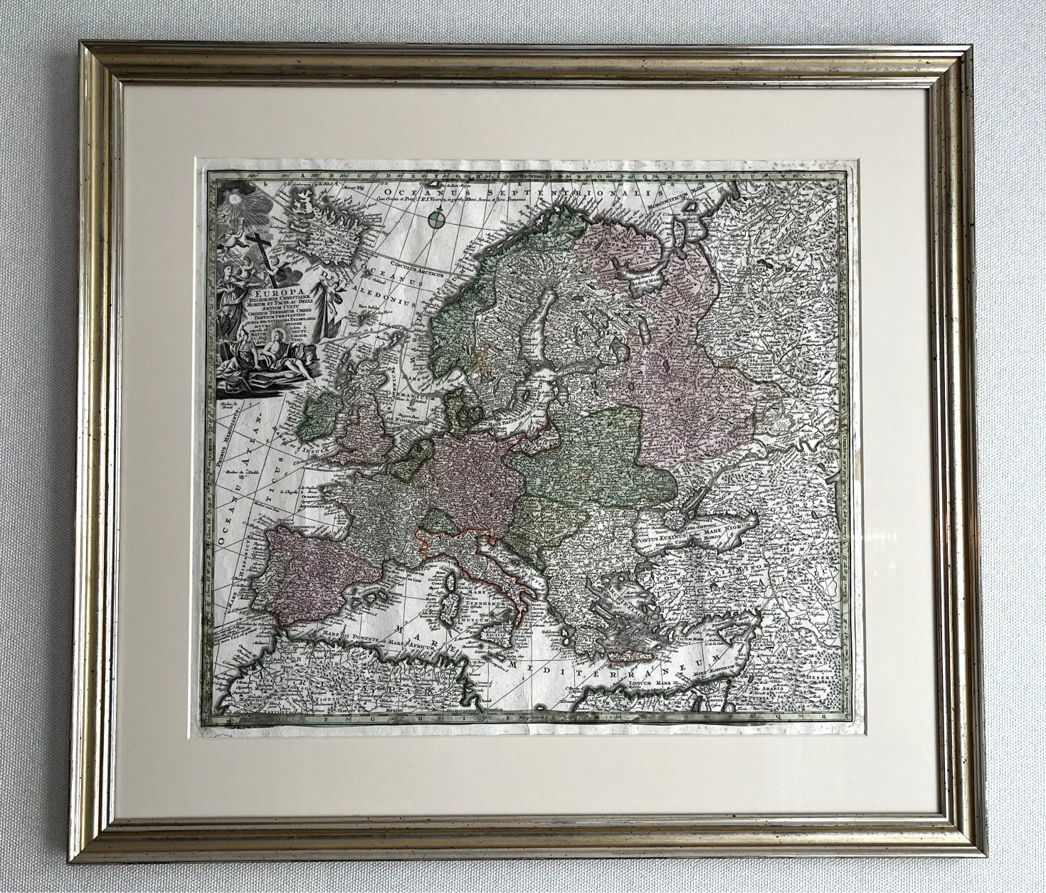
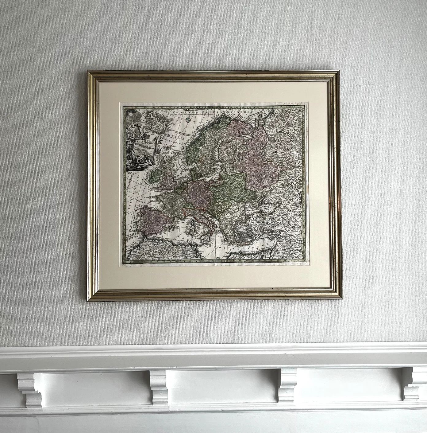
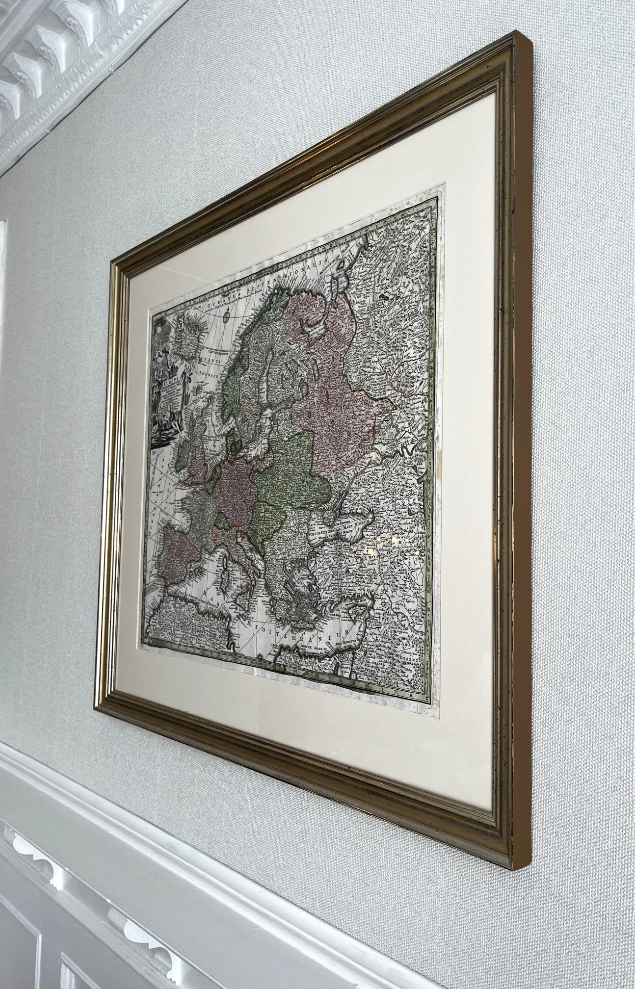
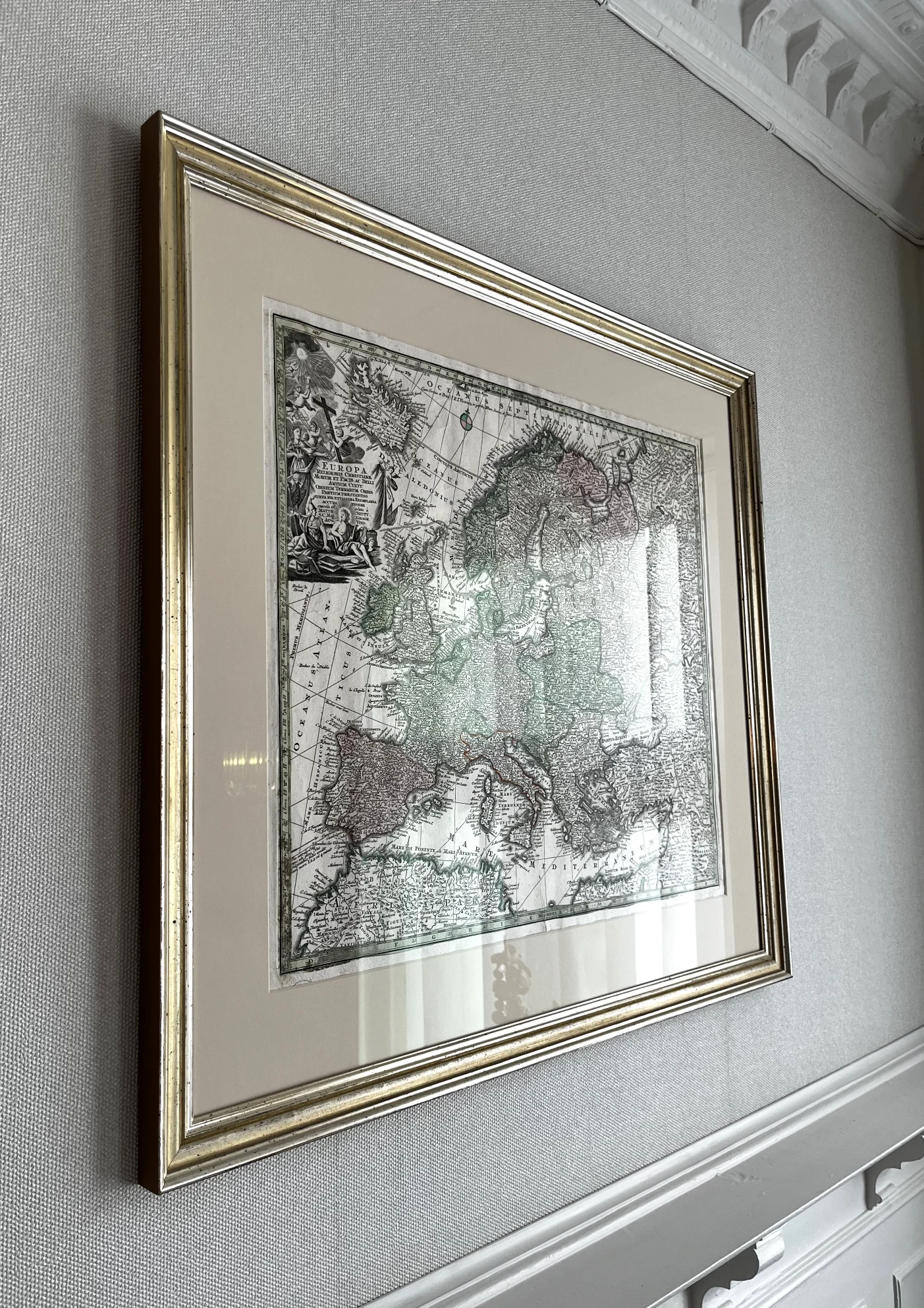
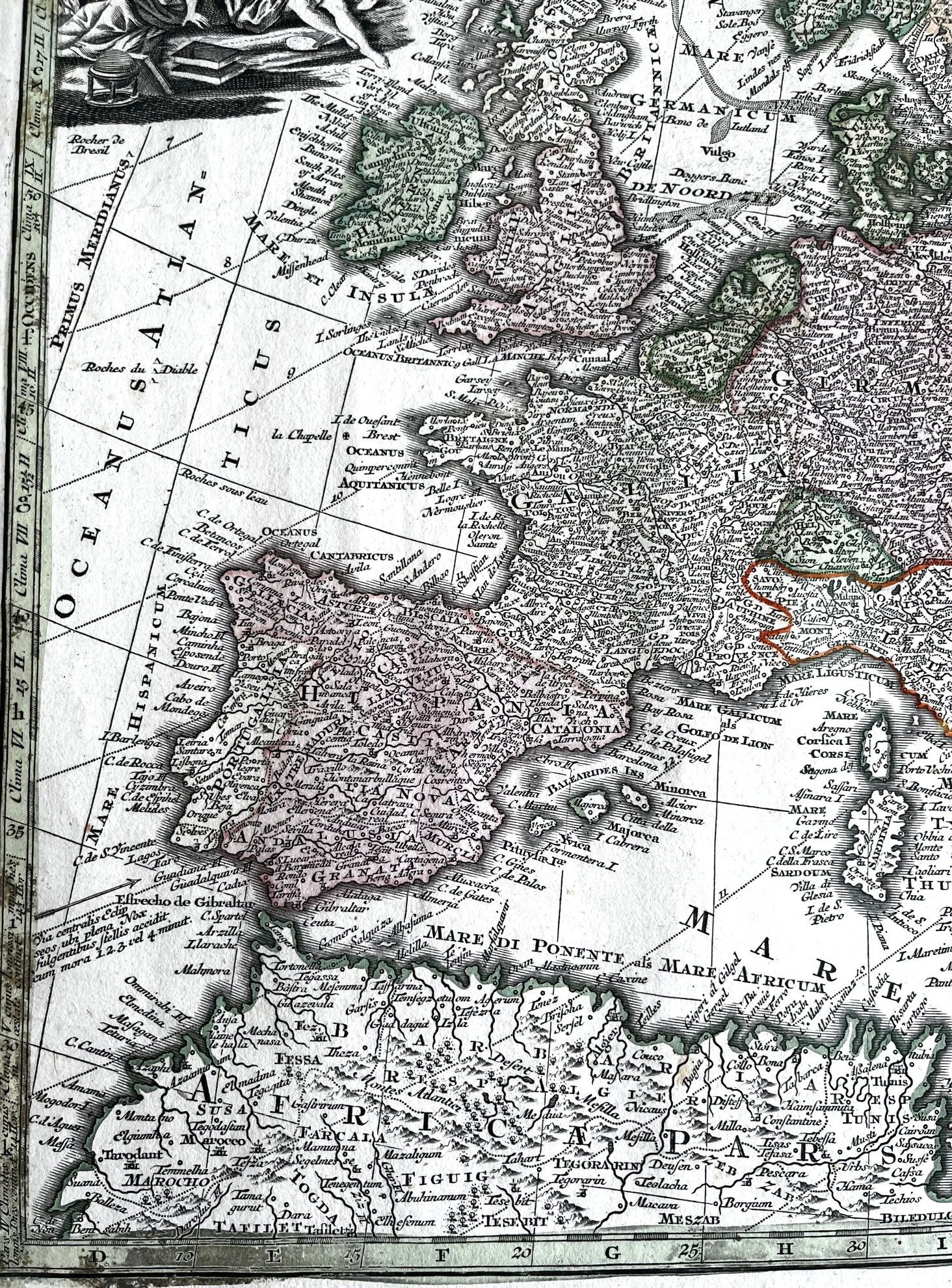
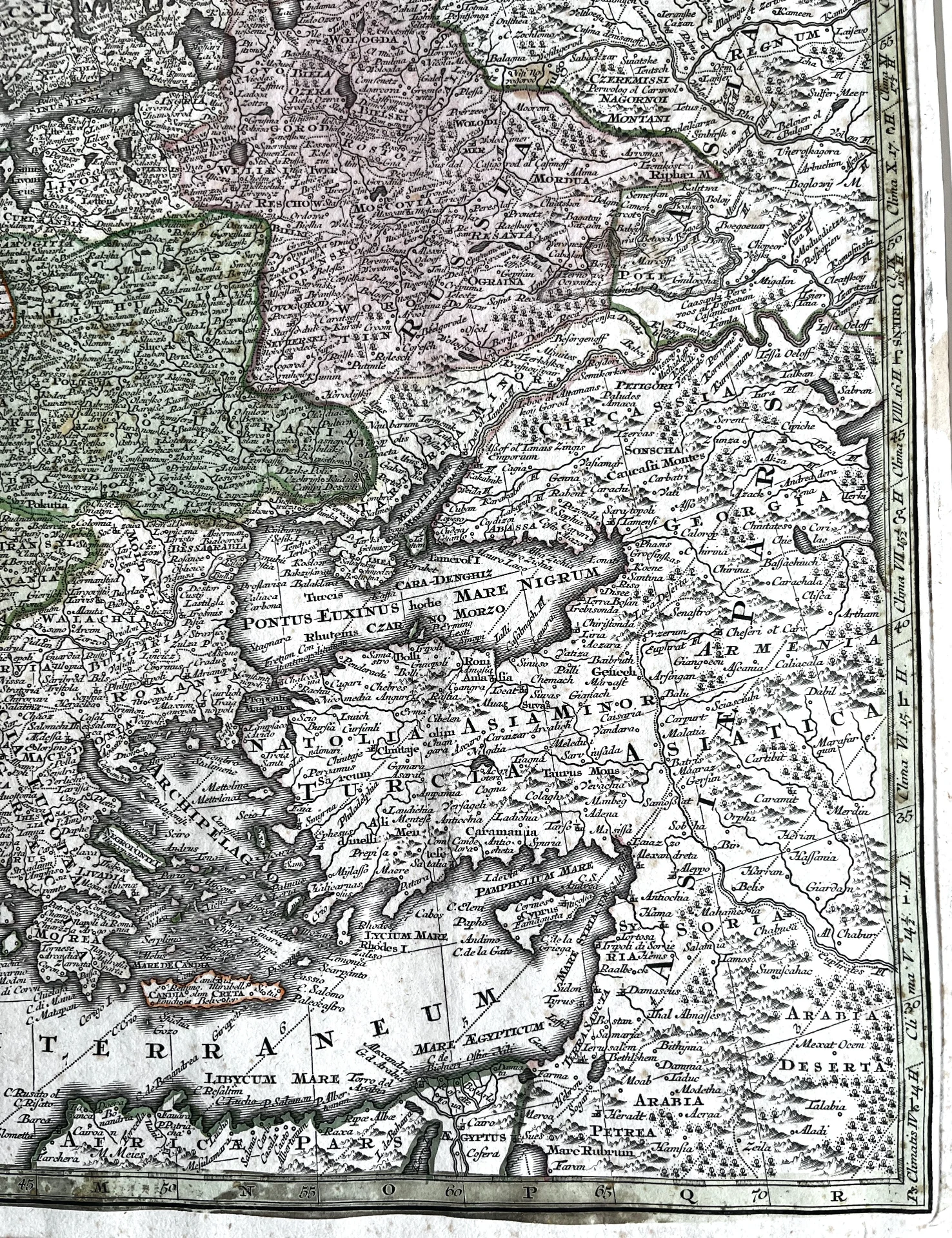
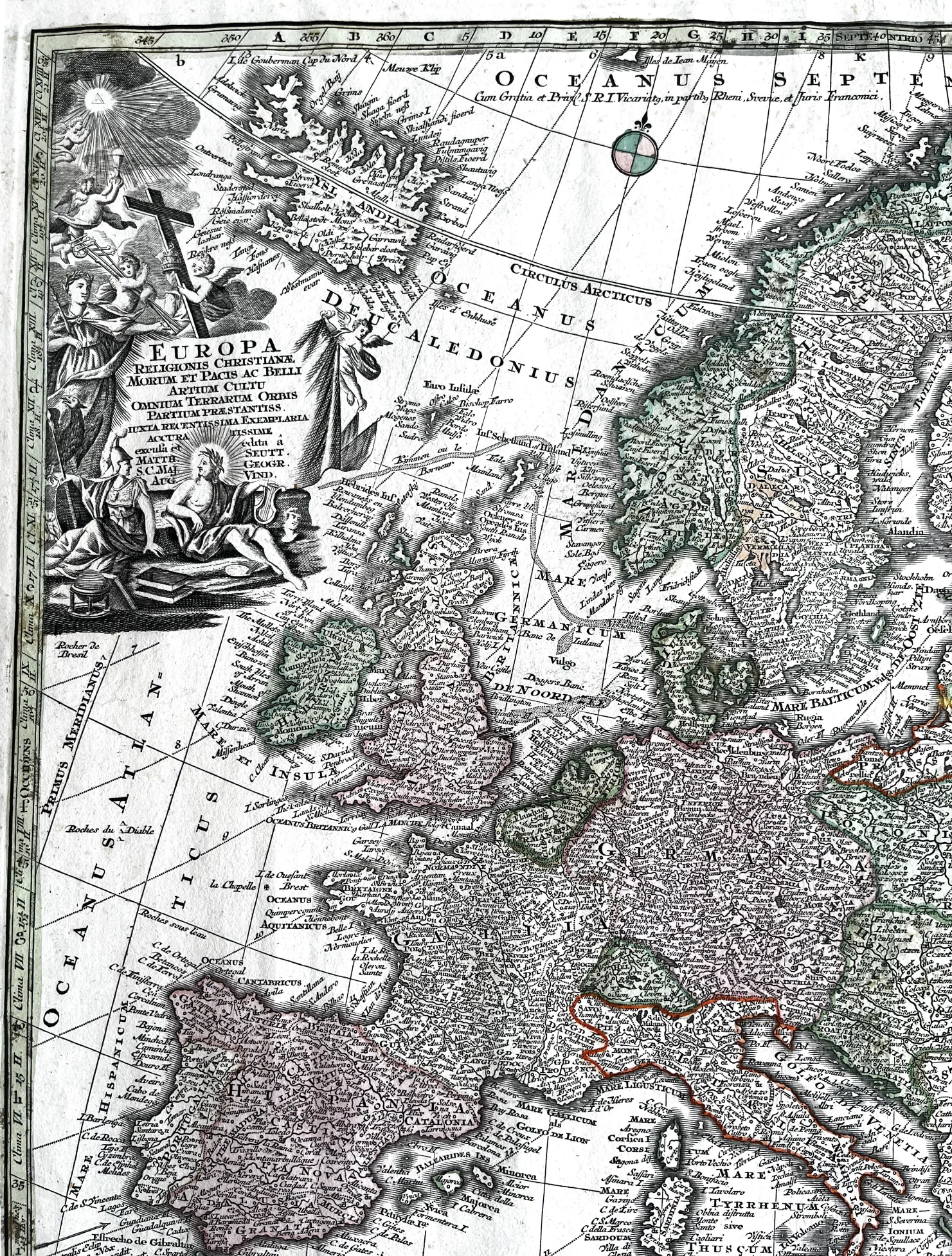
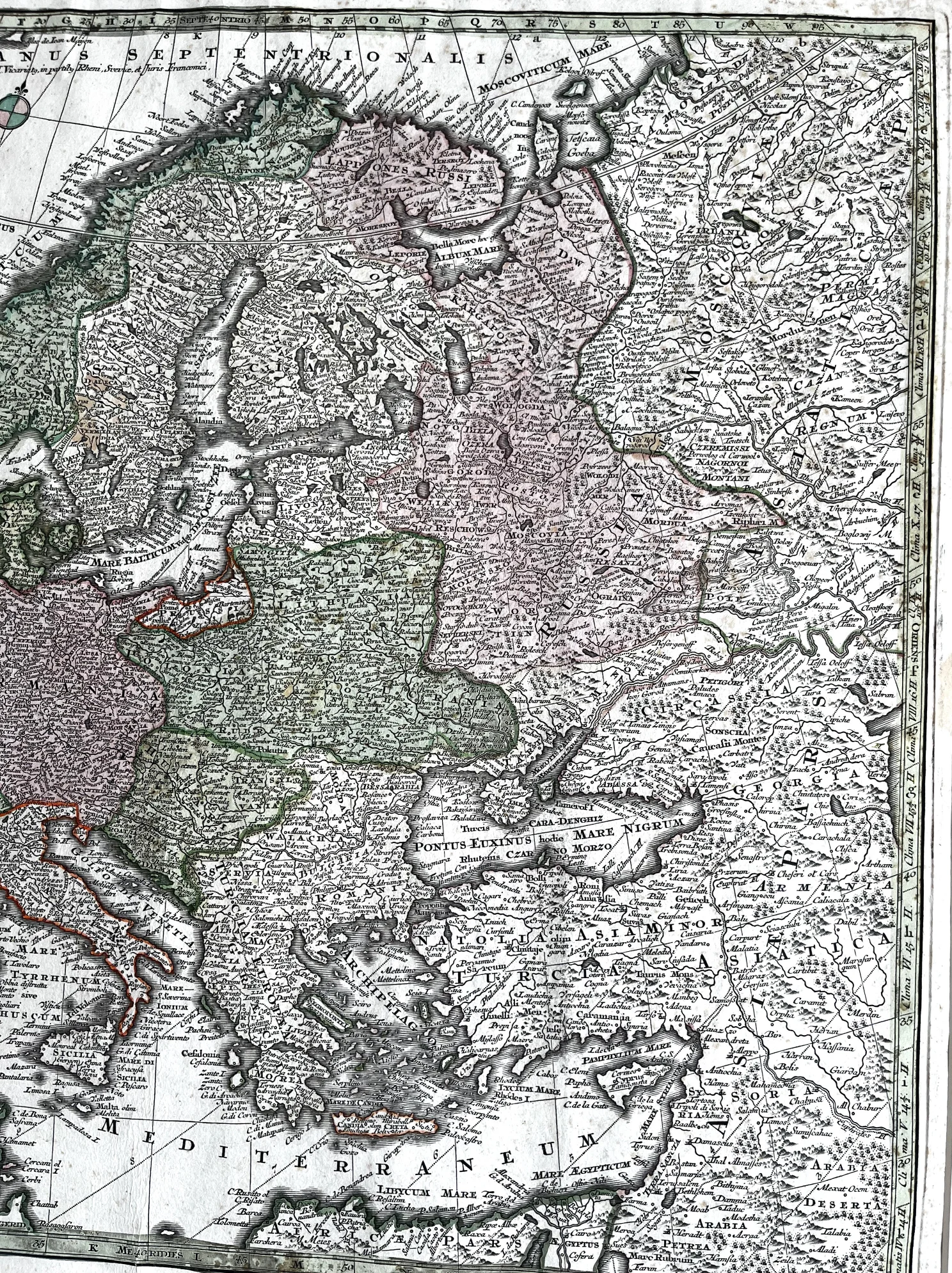
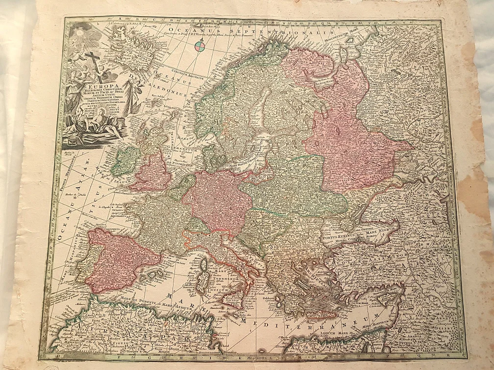

Map of Europe by George Matthäus Seutter
Antique hand-coloured map of Europe by George Matthäus Seutter, 1740. Engraved and hand-coloured antique map from the 1700s. The original map was engraved by Tobias Lotter (after Seutter’s drawing) and published in the 1744 edition of GM Seutter’s Atlas Minor Praecipua Orbis Terrarum Imperia, Regna et Provincias,… Augsburg, Germany.
Atlas Minor Praecipua Orbis Terrarum Imperia, Regna et Provincias is a collection of maps published by the German cartographer Georg Matthäus Seutter in the early 1700s. The title can be translated as The Principal Empires, Kingdoms and Provinces of the World in an Atlas. The atlas contains detailed and decorative maps of different parts of the world, typically with cartographic style and decorative elements characteristic of the period.
The map is professionally framed with a gold-coloured frame and UV-protective glass. See similar products in our online store.
Outer dimensions:
- 73 cm x 78 cm
- Inner dimensions:
- 53 cm x 60 cm
A bit of history:
Georg Matthäus Seutter was one of the most influential German cartographers of the 18th century and gained recognition as a geographer at the Imperial Court. His son, Albrecht Carl, followed in his footsteps and continued the family’s work. Seutter’s maps were printed by Tobias Conrad Lotter and were often richly decorated. These maps frequently featured detailed engraved elements, elaborate cartouches and original hand-coloured details, in keeping with the German cartographic tradition of the 18th century. This antique hand-coloured map of Europe is a fine example of this style.